
Tucked away in the eastern corner of Butte County, Sly Creek is a popular spot for campers, anglers, and flatwater boating enthusiasts. Part of its treasure is its remoteness, which requires visitors to enjoy a scenic drive through foothill communities and the Plumas National Forest.
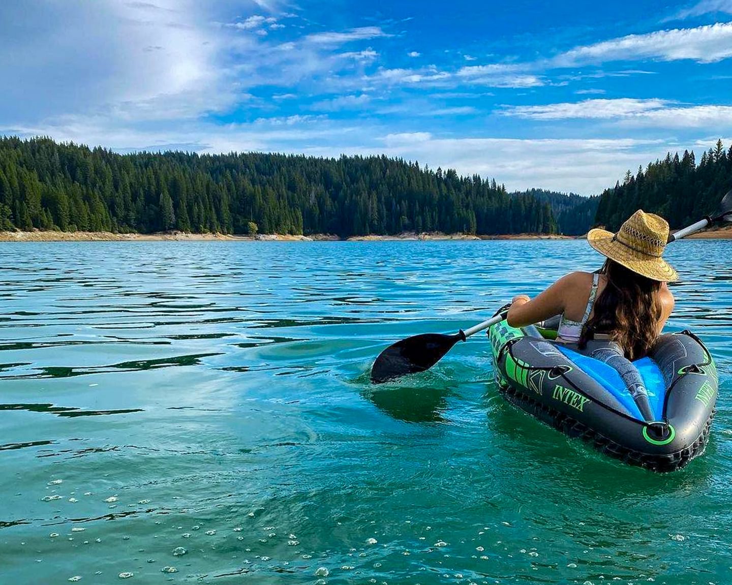
The centerpiece of the recreation area is the 562-acre Sly Creek Reservoir. Surrounded by conifer-lined shores under bright blue skies, the water is a beautiful emerald hue; fall will bring even more color as the oaks and big-leaf maples turn yellow.
Note: Before visiting, make sure to check Alerts and Notices on the Plumas National Forest website for closure information.
Know Before You Go
Road Conditions: The road to Sly Creek is exceptionally bumpy; smaller cars or low-clearance vehicles may struggle to make the trip.
Campground Availability: Campgrounds do not take reservations and operate strictly on a first-come, first-served basis. Plan a weekday visit or arrive early, and always come with a backup plan in case no spots are available.
Leash Laws: Dogs must be kept on a leash no longer than 6 feet at all times while in developed recreation areas and on interpretive trails.
Leave No Trace: Help keep Sly Creek clean and pristine by packing out all trash and leaving the space better than you found it.
Boating, Floating & Fishing
From fast-paced motorized boating to quiet paddling, Sly Creek Reservoir accommodates a variety of water activities:
- The Lost Creek Arm: Ideal for waterskiing, wakeboarding, and touring by boat. A concrete boat launch near Sly Creek Campground allows quick access for motorized vessels.
- The Sly Creek (Strawberry) Arm: Designated as a 5 MPH no-wake zone for motorized boats, this section is a favorite destination for kayaking, canoeing, and stand-up paddleboarding. A small launch for non-motorized vessels is located near the Strawberry Campground.
- Fishing: The reservoir is a prime spot to catch rainbow trout, brown trout, and kokanee salmon from a boat or along the shore, so make sure to bring your fishing poles.
Camping
There are two distinct campgrounds tucked into the Sly Creek Recreation Area: the Sly Creek Campground and Strawberry Campground.
Both locations operate strictly on a first-come, first-served basis, are open seasonally from May through September, and cost $20 per night.
There is a 14-day maximum stay limit enforced across both locations. Select sites can accommodate trailers up to 22 feet in length, but note that no hookups are provided on-site.
- Sly Creek Campground: The larger of the two options (30 units) with prime opportunities for lakeside camping. This location includes drinking water and garbage service. While the campground is seasonal, the adjacent boat ramp remains open year-round.
- Strawberry Campground: A smaller, quieter retreat (17 units) nestled in a forested area along Sly Creek. This site features vault toilets and puts you right next to swimming, fishing, and nearby OHV riding trails.
- Know Before You Go: Check in with the Plumas National Forest Feather River Ranger District (530−534−6500) to confirm the campgrounds are open before making the trek.
Directions & Access
Because cell service is unreliable in the canyon, save these turn-by-turn directions before you head out:
- From Oroville (and points north): Exit Highway 70 at Oro Dam Boulevard and travel east on Highway 162. After about 8.5 miles, turn right onto Forbestown Road and continue for 14 miles to the community of Forbestown. Continue onto Challenge Cutoff Road for 3 miles, then turn right onto La Porte Road. You will pass through the communities of Woodleaf and Clipper Mills; look for the Sly Creek Recreation Area sign after about 10.5 miles.
- To reach Sly Creek Campground & Motorized Launch: Turn left at the recreation sign onto the paved access road and continue for 4 miles to the Sly Creek Dam. The boat launch and campground are located just past the dam.
- To reach Strawberry Campground: Continue past the main recreation sign, traveling east on La Porte Road for another 3 miles through the community of Strawberry Valley. Turn left at the campground sign and follow the 1.5‑mile access road to the sites.
- From the South: Turn left onto Lower Honcut Road from Highway 70. Lower Honcut Road meets La Porte Road after 5 miles. Turn left onto La Porte Road and follow it straight for 31 miles until you hit the main Sly Creek Recreation Area sign.