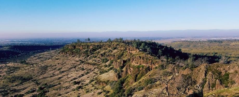
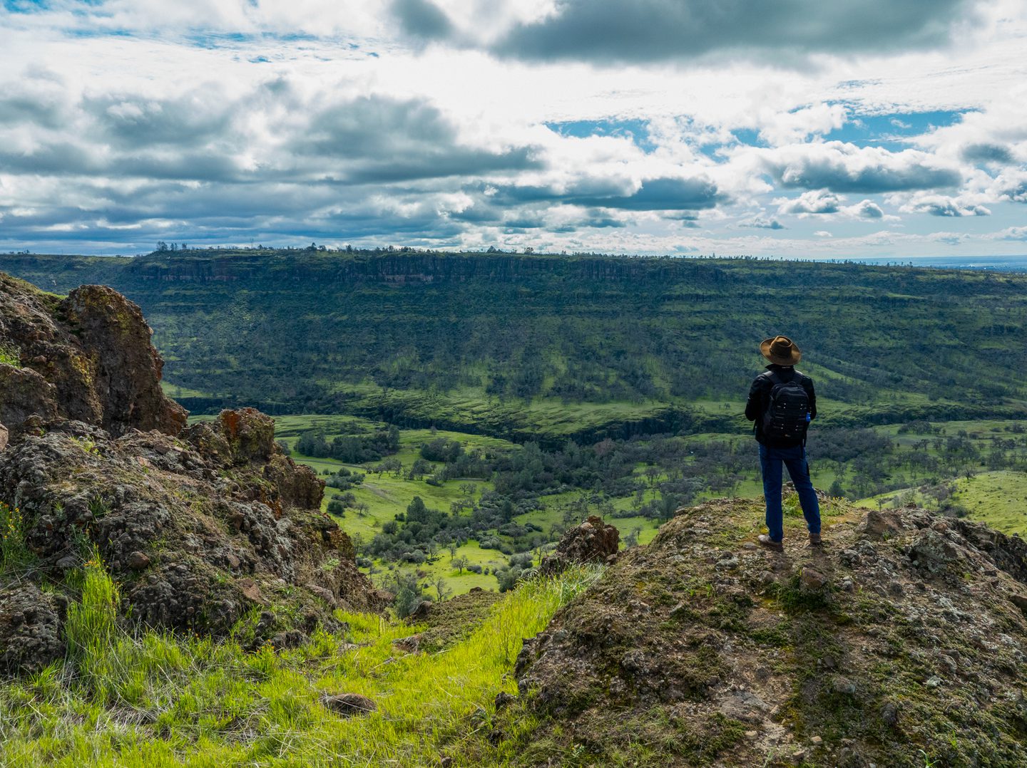
A Chico classic, the North Rim Loop (sometimes referred to as Upper Bidwell Trail) — traversing North Rim Trail, B‑Trail, and Yahi Trail—offers a little bit of everything that makes Bidwell Park so special: swimming holes for summer dips, springtime wildflowers, wild animals, and more. The length, rocky terrain, and elevation loss and gain make this a difficult trail, but first-timers to Chico should still put this on their “Must Visit” list. (Just keep an eye out for mountain bikers racing down B‑Trail!). To get from B‑Trail to Yahi Trail, you’ll need to briefly follow Upper Park Road.
Modification: Those still working on building their mileage can shave off a little time and distance by starting at Horseshoe Lake instead of Lot B. You can also shave off the end of the Yahi Trail by cutting over to Upper Park Road closer to the B‑Trail at Lot S near Browns Hole.
Key Info
Trail Difficulty: Difficult
Trail Length & Type: 10.2 mile loop
Best Used: Accessible year-round
Dogs: Allowed on leash
Trail Map: Upper Bidwell Park map
Other Information: B‑Trail is popular with bikers, so keep be alert as you traverse this part of the trail
Driving Directions
From Hwy 99 take the East Ave. exit east. Follow East Ave. towards Manzanita Ave. At the roundabout take the second exit for Wildwood Avenue. Continue onto Upper Park Road, turn left for Parking Area B (First turn on your left).