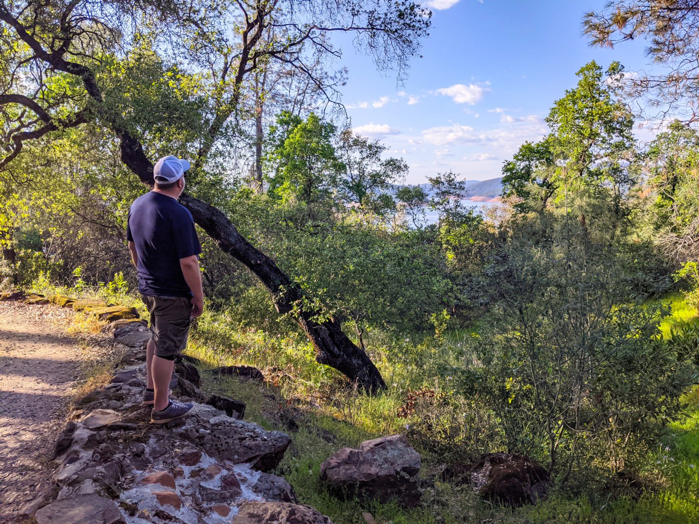
Starting at the Saddle Dam Day Use Area and ending up at Oroville Dam, you’ll enjoy this hike out to great views of Lake Oroville on Bidwell Canyon Trail (aka, Kelly Ridge Point Trail).
Expect stretches of gradual but extended inclines and declines throughout your trek, making for a moderately strenuous experience. The views at Kelly Ridge Point are worth it, though — you’ll see the back side of Oroville Dam, the Bidwell Bar Suspension Bridge and can even dip your toes in the water (when levels are high) before returning.
Feel free to stop by the Lake Oroville Visitors Center for another great view on the lookout tower.
Modification: Make this a shuttle by hiking through to the Oroville Dam Day Use Area and getting picked up there. You can also slightly decrease the return trip by arranging for pick-up at the Bidwell Canyon Marina; since it’s a state park, there’s a parking fee.
Key Info
Trail Difficulty: Moderate
Trail Length & Type: 9 mile out-and-back
Best Used: Accessible year-round
Dogs: Not allowed
Trail Map: Interactive Lake Oroville map
Other Information: This is a bike-friendly trail (MTB Project); equestrians are not allowed
Other Links: CA State Parks Lake Oroville Trails Maps
Driving Directions
Following Oro Quincy Highway East/CA-162E turn left onto Kelly Ridge Road. You will pass 2 streets on your left Heritage Road, and Eastridge Court, shortly after passing Eastridge Court you will see a sign on your right for Saddle Dam Day Use Area.
Park here and look for Bidwell Canyon trailhead signs at the end of the parking lot.