
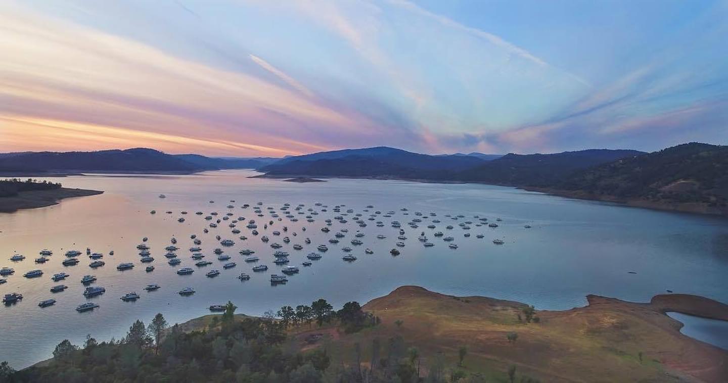
The Loafer Creek Recreation Area at Lake Oroville is a popular destination for exploring California’s second-largest reservoir.
As home to Butte County’s largest campground, Loafer Creek easily accommodates tents, trailers, and large RVs under a canopy of oak-studded foothills.
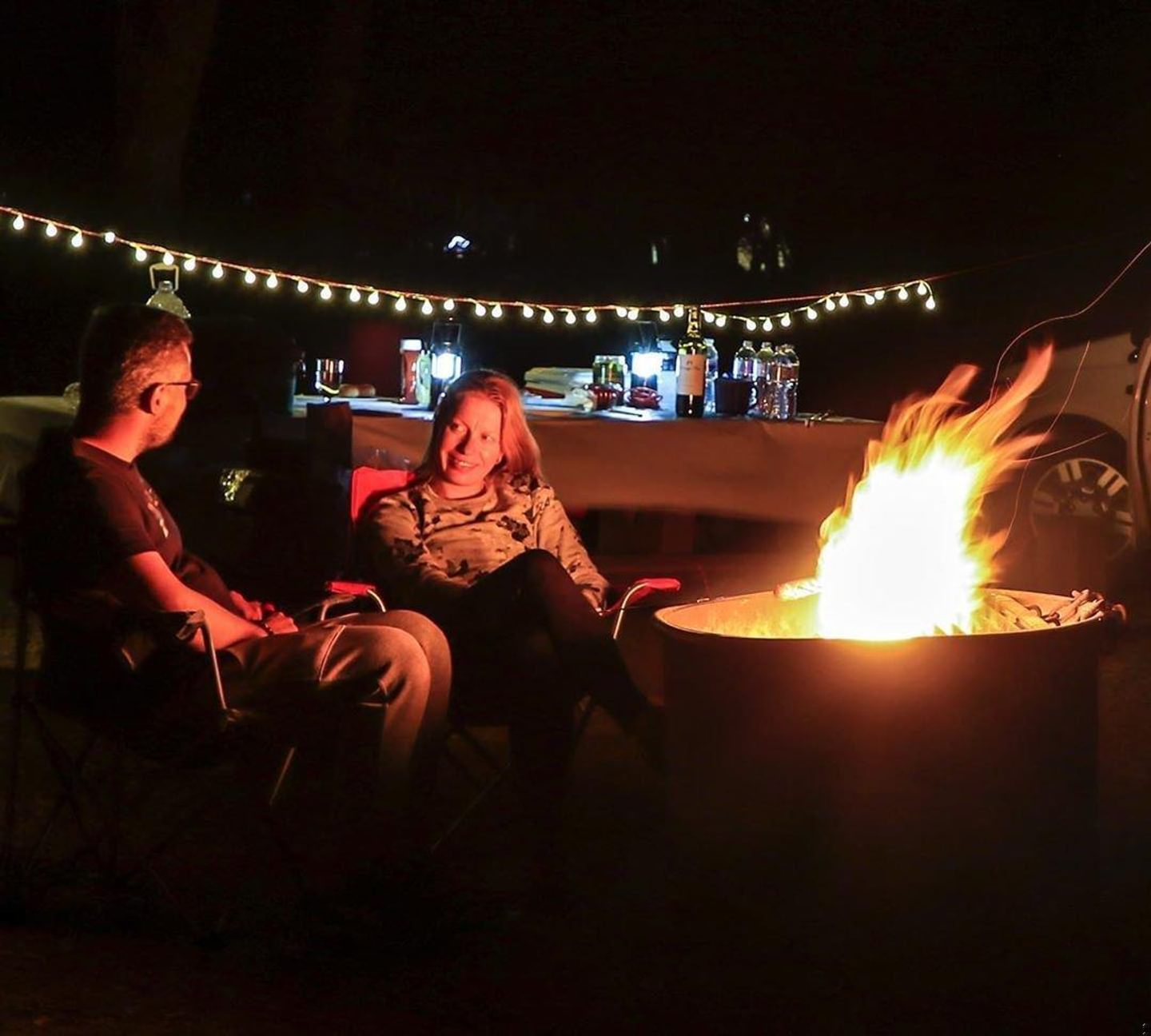
Beyond classic camping, Loafer Creek features dedicated equestrian facilities, six large group sites, a sprawling day-use lawn, and the lake’s only designated swimming area.
Camping at Loafer Creek
Reservations are highly recommended from late spring through Labor Day and can be booked up to six months in advance through ReserveCalifornia.
During the off-peak fall and winter months, the campground remains open year-round with ample first-come, first-served walk-in availability.
- Coyote Campground: 137 sites nestled in a blue oak woodland at the south end of the lake. Each site accommodates up to eight guests and can handle trailers up to 31 feet or RVs up to 40 feet long (no hookups). Potable water, restrooms, and coin-operated showers are available throughout the loops.
- Group Campgrounds: Six dedicated group sites that can accommodate up to 25 campers and eight vehicles each. These sites feature five large tent pads, multiple tables, and running water.
- Loafer Creek Horse Camp: A premium equestrian facility featuring 15 campsites (each accommodating up to eight people, two vehicles, and two horses). Amenities include a horse washing station and a warm-up area with direct access to the lake’s extensive multi-use trail system.
- Sanitation Station: A shared RV dump station is located along the main road between the campgrounds and the park entrance station.
Accessible Camping
The Loafer Creek area has several accessible camping options:
- Coyote Campground: Features seven accessible campsites (#3, #42, #43, #45, #47, #48, #51) with smooth pathways leading to nearby accessible restrooms and showers.
- Horse Camp: Offers accessible campsites and an ADA compliant combination restroom/shower facility.
- Campfire Center: Features accessible seating, level paths of travel, and assistive listening devices.
Find more information about accessibility features at the Lake Oroville SRA here.
Boating & Day-Use Area
The Loafer Creek area is built for easy water access, featuring expansive day-use lawns, picnic sites, shoreline fishing, and a seasonal swimming beach.
- Day-Use Fees: A standard vehicle day-use or boat-launching fee is required to access the ramps and picnic areas.
- The Boat Launches: The area features two multi-stage launching facilities depending on the reservoir’s water levels:
- Loafer Point Stage 1 (Old & New): Accessible when the lake is high. The “Old” lanes run from 900 to 780 feet in elevation, while the “New” Stage 1 lanes run from 900 down to 804 feet.
- Loafer Point Stage 2 (New): Built to handle low-water conditions, these extended lanes keep launching accessible from 804 feet all the way down to 680 feet.
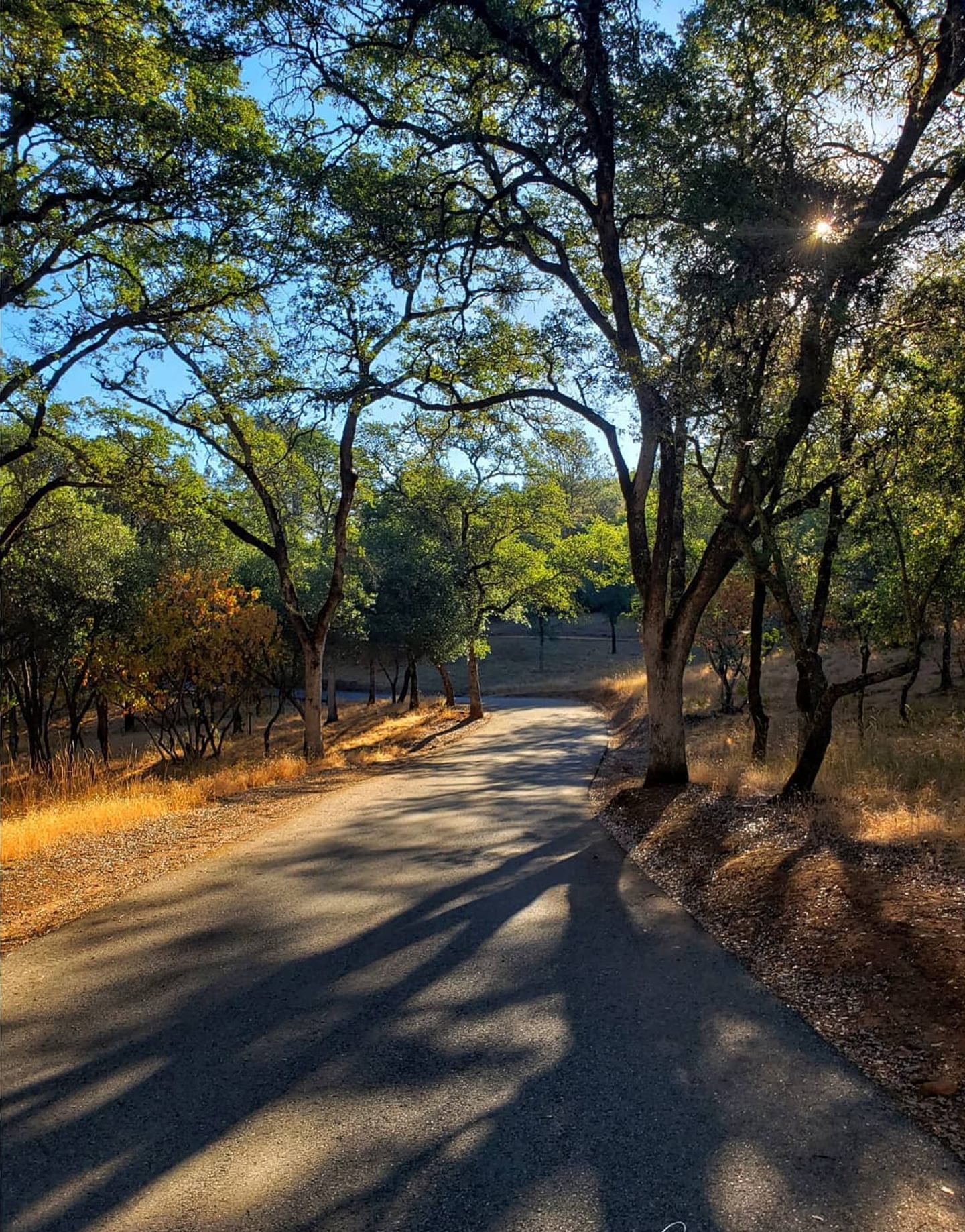
Hiking & Equestrian Trails
The recreation area is set within a vibrant foothill ecosystem of blue oaks, foothill pines, manzanita, and grassy slopes.
While exploring, keep an eye out for local wildlife like ground squirrels, acorn woodpeckers, mule deer, and black-tailed hares.
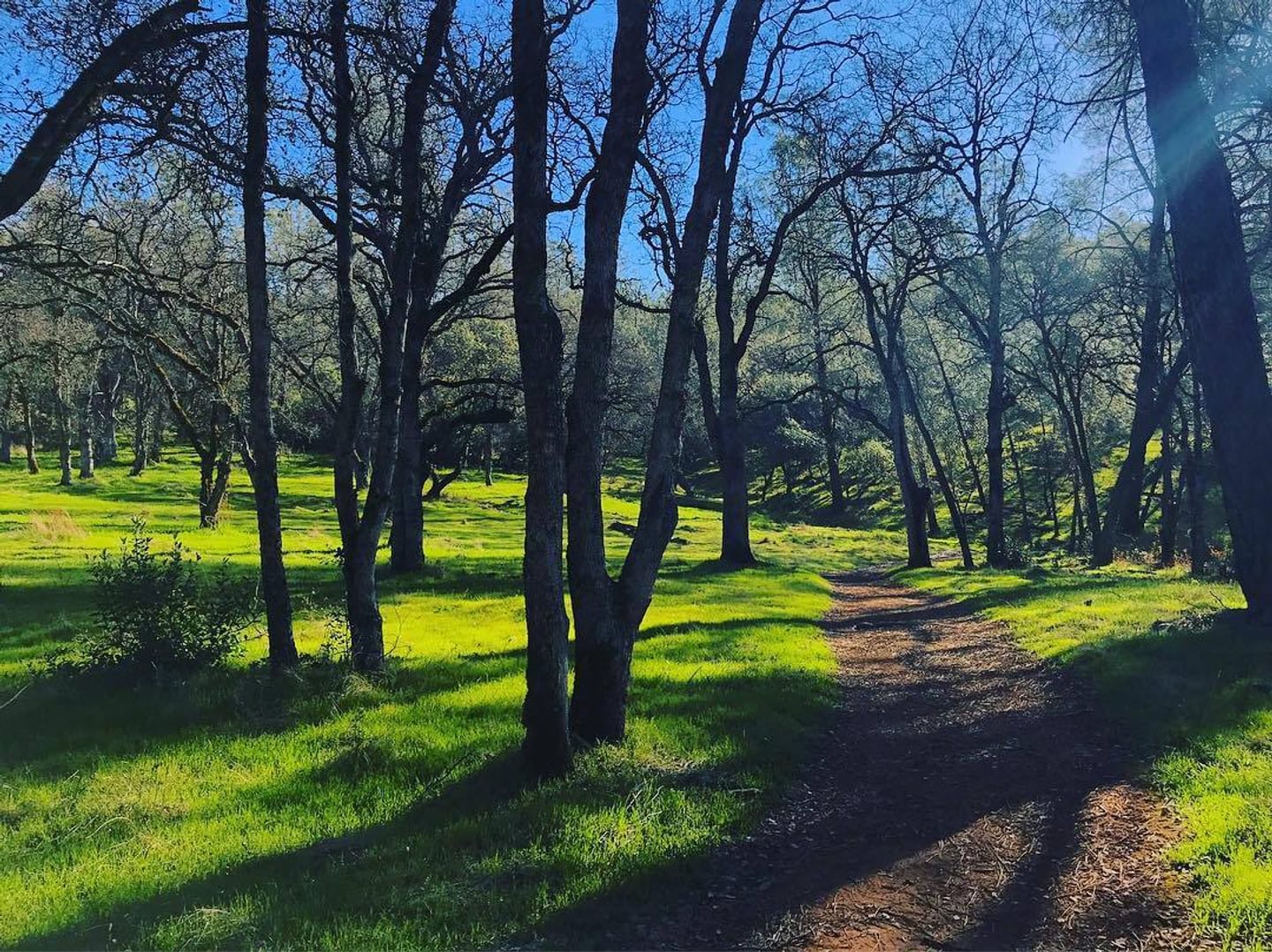
Loafer Creek Day Use Trail
An easy, relaxing nature walk that snakes through the trees to connect the main campgrounds, the day-use area, and the entrance kiosk.
Key Info
Trail Difficulty: Easy
Trail Length & Type: 1.7‑mile point-to-point
Best Used: Accessible year-round
Dogs: Not allowed
Other Important Info: Wheelchair accessible
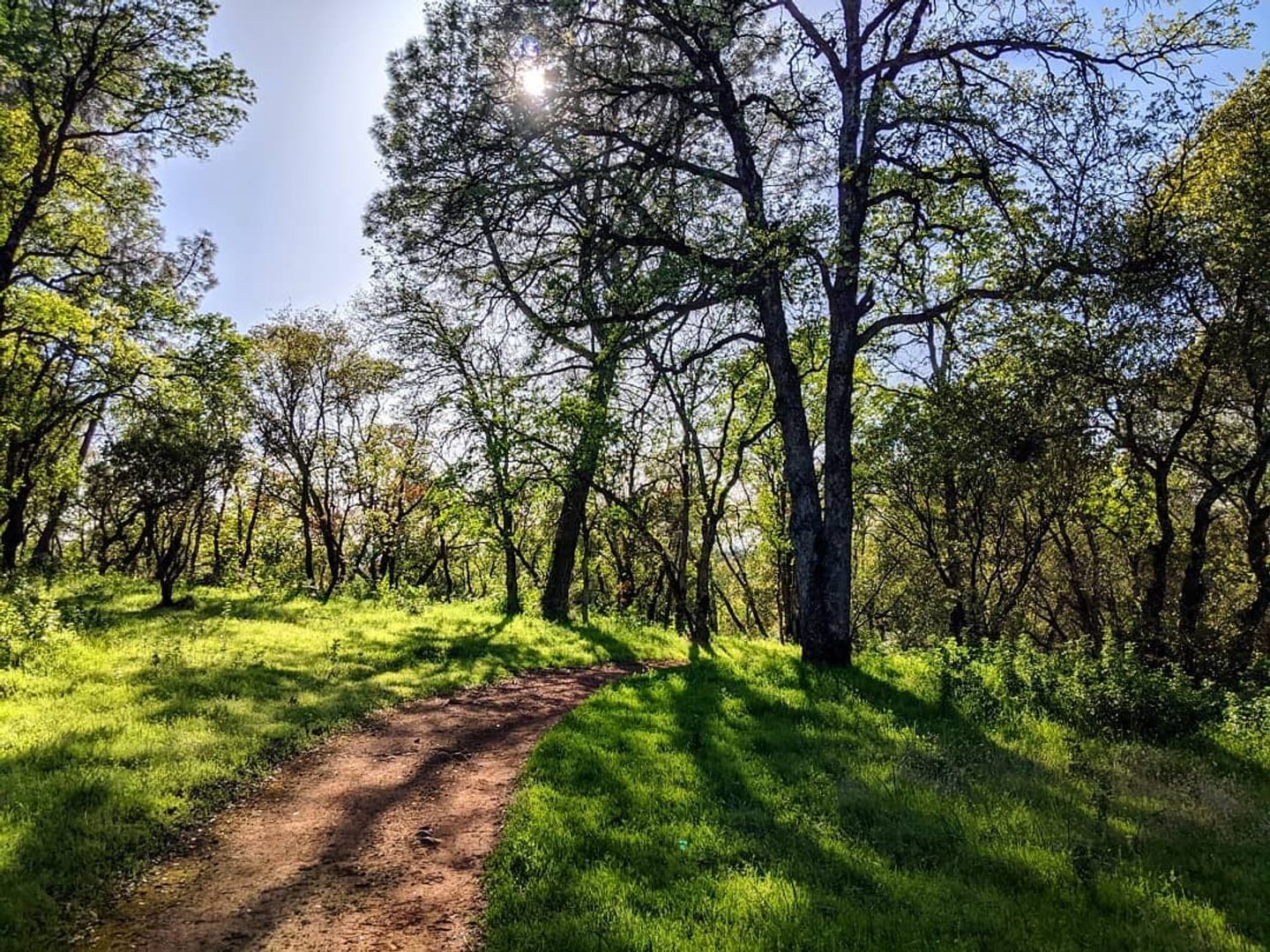
Loafer Creek Loop Trail
Accessible from all three loops within the main campground, this rolling trail is perfect for both hikers and horseback riders.
To extend your hike, you can follow this route across Saddle Dam to connect seamlessly with Lake Oroville’s broader multi-use trail network.
With the trail overlapping others in the area, you’ll want to make sure to study the interactive map before your trip.
Key Info
Trail Difficulty: Moderate
Trail Length & Type: 3.6 mile loop
Best Used: Accessible year-round
Dogs: Not allowed
Map Links: Interactive Lake Oroville map, CA State Parks Lake Oroville trails map
Other Important Info: Day-use fee required
Roy Rogers-Loafer Creek Loop
The Roy Rogers Trail is a two-mile path that connects directly to the northern part of the Loafer Creek Loop.
Hikers and equestrians often combine the two paths to form a five-mile loop featuring scenic lake views and a fun, rolling stretch of frequent ups and downs. Start from the day use areas or the campgrounds in the Loafer Creek Recreation Area.
Key Info
Trail Difficulty: Moderate
Trail Length & Type: ~5 mile loop
Best Used: Accessible year-round
Dogs: Not allowed
Map Links: Interactive Lake Oroville map, CA State Parks Lake Oroville trails maps
Other Important Info: Day-use fee required
Driving Directions
From the North (Chico):
- Take Highway 99 south and follow signs to Highway 149, connecting onto Highway 70 south toward Oroville.
- Take Exit 46 for Highway 162 (Oro-Dam Boulevard East).
- Follow Highway 162 as it transitions into Olive Highway, and then into Oro-Quincy Highway.
- After passing the turn-off for Forbestown Road, make the next left onto Loafer Creek Road.
From the South (Sacramento/Marysville):
- Travel north on Highway 70 into Oroville.
- Take Exit 46 for Highway 162 East and follow the identical route above along Olive Highway to Loafer Creek Road.
Check out the Lake Oroville State Recreation Area’s brochure for a map of the area and additional information.