Get ready to hit the road and explore the Feather River Canyon, a stunning 130-mile scenic stretch winding through Butte and Plumas counties for an unforgettable journey.
Following the wild and scenic North and Middle Forks of the Feather River, the route is packed with natural beauty and engineering marvels. In the spring, you’ll find cascading waterfalls and wildflowers, while the fall delivers brilliant colors.
From historic bridges to granite tunnels and the impressive “Stairway of Power,” every turn of the road along the Feather River Scenic Byway is a new discovery.
Jump to: Explore Oroville | The Canyon in Butte County | The Canyon in Plumas County
Butte County
Your journey begins in Butte County, where the North Fork of the Feather River converges with its other forks at Lake Oroville, creating a rich history and a hub of recreation. Explore the city before officially hitting the road of the scenic byway.
Explore Oroville
Lake Oroville State Recreation Area
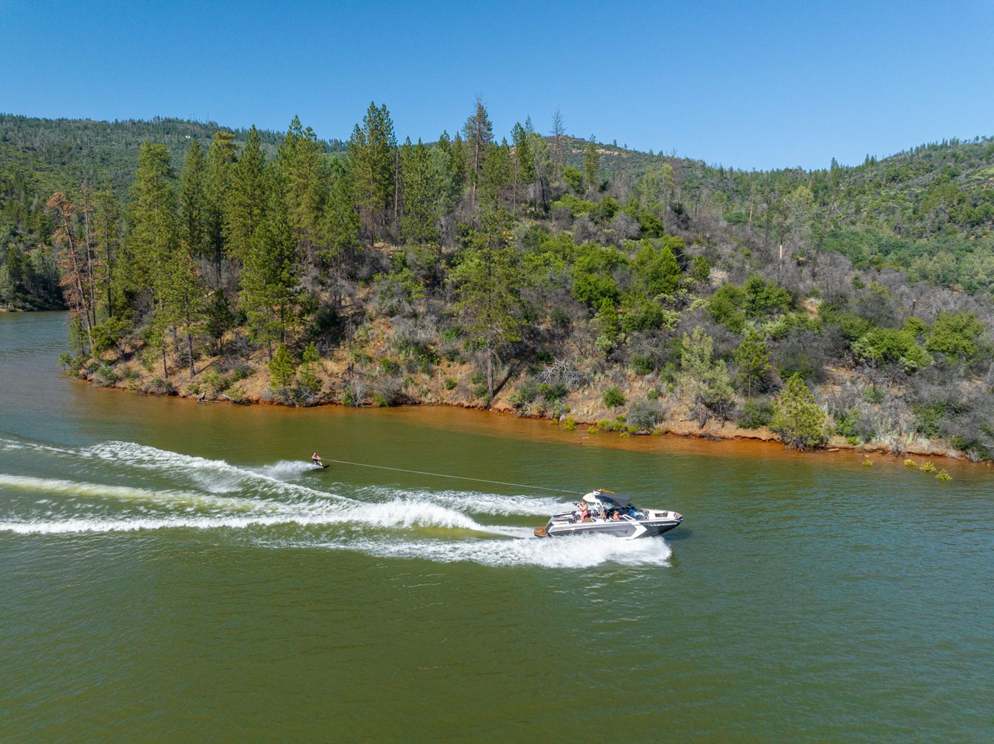
The recreation opportunities for adventure are endless at Lake Oroville, making it a perfect start to your road trip.
With various day use areas and campgrounds across the city, the Lake Oroville State Recreation Area offers a wide variety of activities, including boating, hiking, horseback riding, and swimming. You can even enjoy unique floating campsites, perfect for a peaceful night under the stars. The park’s many trails also provide excellent views of the lake and surrounding landscape.
Oroville Dam
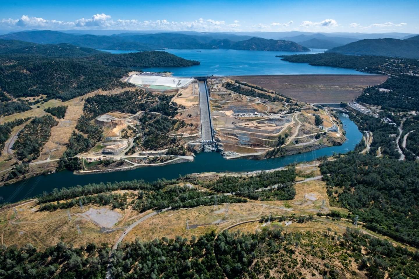
At the Oroville Dam, you can explore a monument to engineering and a jewel of the California State Water Project.
The Oroville Dam is the tallest dam in the country at 770 feet, and is where all four forks of the Feather River meet at Lake Oroville before being distributed to the entire Sacramento Valley.
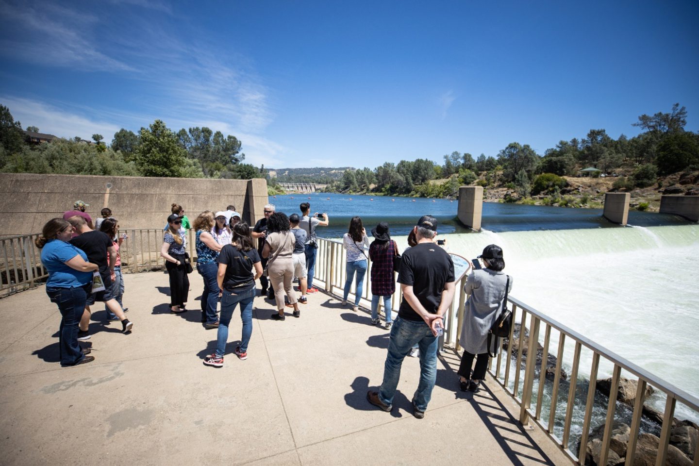
Take a walk across for views of the lake to the east and the flowing Feather River to the west, and make sure to take in the power of the spillway a short drive away if it’s releasing water when you visit.
Get There: Google Maps
Downtown Oroville
Discover the cultural heart of the county seat in Downtown Oroville, where you’ll find delicious locally owned restaurants, unique shops, and lively community events.
Oroville Chinese Temple
This iconic and visually stunning Oroville Chinese Temple highlights the history of Chinese-Americans in the region.
Both a museum and an active place of worship that showcases the history of the Chinese community during California’s Gold Rush, the Oroville Chinese Temple is a unique piece of the state’s cultural heritage. Make this a must-see on your itinerary.

Feather River Fish Hatchery
Take a fascinating tour of the hatchery and watch as salmon climb the fish ladder at the Feather River Hatchery.
Raising Chinook salmon and steelhead along the Feather River, from mid-September to mid-November, you can watch migrating salmon through an underwater viewing window. Visitors can also see spawning steelhead from mid-December through mid-February.
With fish present in the rearing ponds all year, it’s a great stop any time of year.
What Do I Need to Know Before Visiting the Feather River Canyon?
The Feather Canyon on Highway 70 is prone to rockslides, occasional flooding, down trees, wildfire, and other accidents that periodically close the road. Check for closures and other road conditions at Caltrans.
The deep river canyon makes for a beautiful drive with little cell phone reception, so make sure to plan ahead.
In the summer months, Highway 70 can be hot and dry. Bring water and sun protection.
In the winter months, Highway 70 can have snow, sleet, and heavy rain. Carry chains and drive with caution.
On the Feather River Canyon
West Branch Feather River Bridge
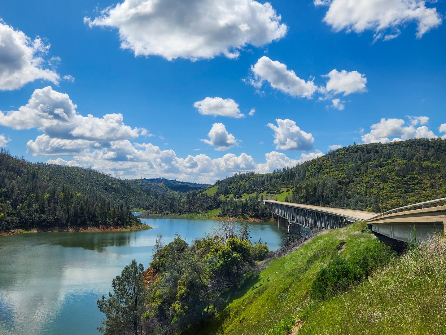
You’re finally on the scenic byway, and it’s time to pull over and take in the beautiful views of the West Branch Feather River Bridge and the houseboats in Lime Saddle Marina.
There’s even a small trail connected to the pull-out for those looking to explore more than just the views.
Get There: Google Maps | Apple Maps
Rock House Dining & Espresso
Just 15 minutes up the highway, Rock House Dining & Espresso is an iconic structure that was built in 1937 from locally sourced rock to create its 18-inch thick stone walls.
Even though the restaurant is currently closed, this historic building is a perfect spot for a few selfies and a quick rest.
Get There: Google Maps | Apple Maps

Toni’s Mixinitup
Less than half a mile away though the infamous Jarbo Gap, Toni’s Mixinitup is a classic roadside café, catering to those who love the open road.
Get There: Google Maps | Apple Maps
The Jarbo Gap
The Jarbo Gap is a natural pass in the Feather River Canyon, and notorious for strong, gusty “Jarbo Winds” that pass through it. During the wet season, Highway 70 is often closed at the Jarbo Gap due to rock slides, flooding, and other seasonal events.
Please check for closures and other road conditions at Caltrans.
Get Your Road Trip Playlist
Pulgas Bridge Viewpoint
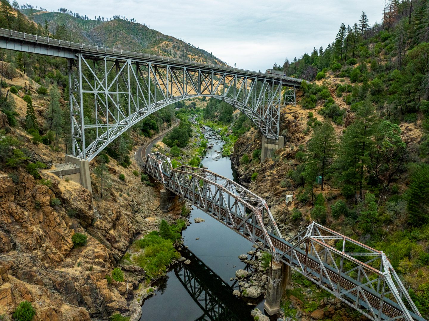
At the Pulga Bridges, the highway bridge crosses directly over the railroad bridge, which creates an iconic and popular spot for photographers.
Although located in Butte County, the Pulga Bridges Loop is an extended part of Plumas County’s 7 Wonders of the Railroad World, making it a beloved spot for both rail and road enthusiasts.
Get There: Google Maps | Apple Maps
Sandy Beach
Just a mile east of the Pulgas Bridge, Sandy Beach is a secluded dispersed beach that is busiest during the summer months but offers year-round river access to the North Fork Feather River.
Please note that access to and re-entry onto Highway 70 from the parking area is difficult and requires careful driving. There are also no bathrooms or potable water, so please plan accordingly.
Get There: Google Maps | Apple Maps
Westbound Vista Point
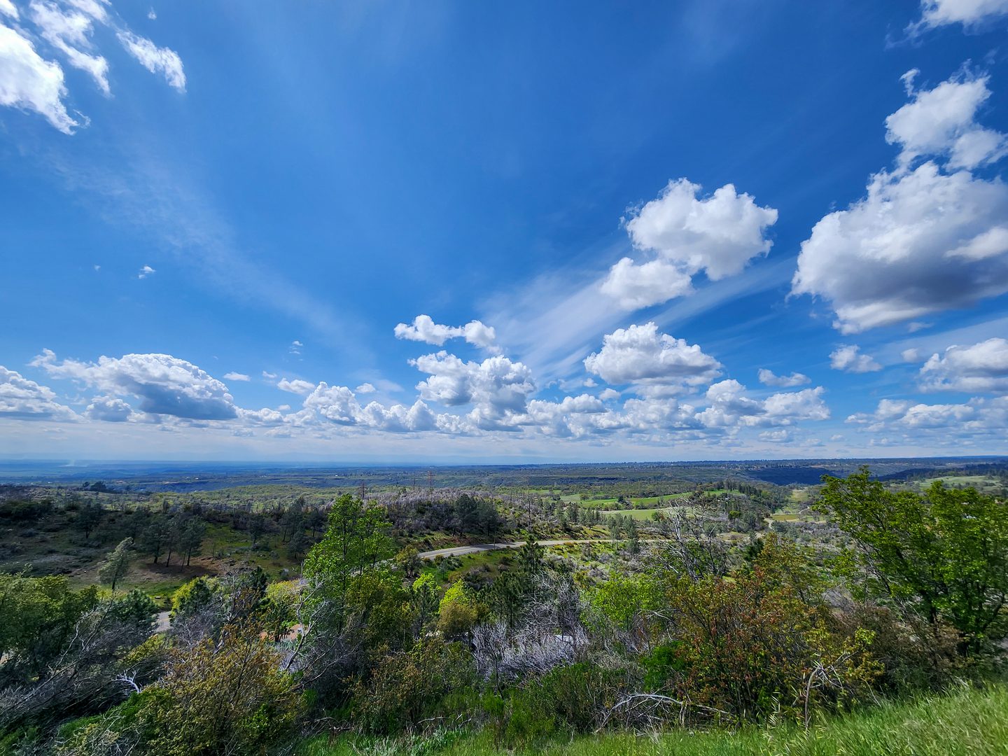
Making your return trip back to Oroville? Pull over at this viewpoint and take in the sweeping views of the valley below, a perfect place to reflect on your journey.
Get There: Google Maps | Apple Maps
Plumas County
As you venture deeper into the Feather River Canyon, Plumas County offers a new kind of adventure, blending engineering feats with raw, untamed nature.
Traveling the Feather River Canyon
Many travelers drive fast through the canyon, and there is often lots of truck traffic.
If you are looking to take your time and enjoy the spectacular scenery, use pull-outs and caution to allow other vehicles to get around you.
Grizzly Dome Tunnel
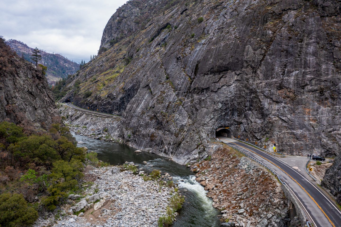
Pull over at the Grizzly Dome Tunnel to witness a true marvel of highway construction.
Blasted through solid granite by the Works Progress Administration (WPA) in the late 1920s and early 1930s, this 1,178-foot tunnel features “windows” cut into the rock, offering unique views of the canyon.
It’s also a popular spot for climbers, so you’ll often see a lively crowd near the parking lot.
Get There: Google Maps
PG&E Bucks Creek Powerhouse
Visible from Highway 70, this hydroelectric powerhouse is a key part of the “Stairway of Power,” a series of seven powerhouses that harness the river’s energy.
Built in 1927, it’s an excellent example of the power-generating process in action.
Get There: Google Maps | Apple Maps
Tobin Trail
For those seeking a challenge, the Tobin Trail is an advanced intermediate-level trail offering a rewarding journey for serious hikers.
Explore Colby Creek within one mile, Buck’s Creek 2.5 miles in, and more as the trail climbs up the south side of the canyon and crosses a couple of beautiful creeks in steep drainages.
Highway 70 Access: Google Maps | Apple Maps
Tobin Bridges
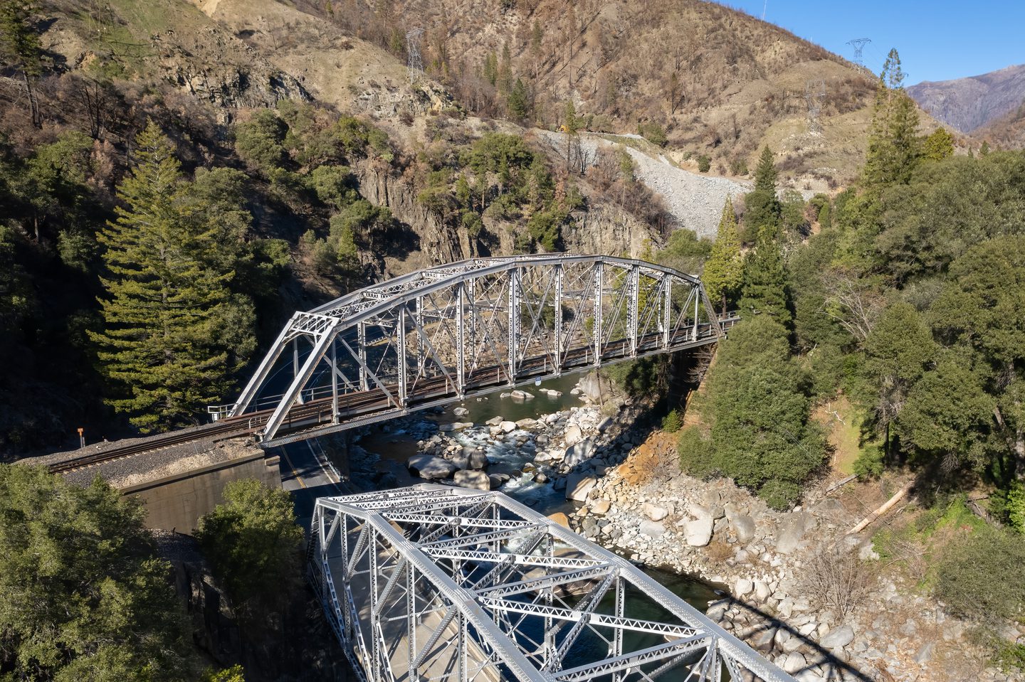
The Tobin Bridges are a must-see for railfans and history buffs. Here, the highway and railroad bridges nearly cross, with the railroad bridge passing over Highway 70.
This impressive engineering feat is an extended part of Plumas County’s 7 Wonders of the Railroad World.
Get There: Google Maps | Apple Maps
Eby Stamp Mill
Capture a moment of Gold Rush history at the Eby Stamp Mill, the only remaining gold mining machinery along this stretch of the Feather River.
Although relocated in 1969 for public viewing, it remains a tangible link to a past when this area was rich with miners. You’ll also find a couple of trailheads nearby.
Get There: Google Maps | Apple Maps
Belden Town Bridge
Access the town of Belden by crossing a unique, one-lane bridge originally built in 1937.
It’s a quieter spot to stop and take in a mellower scene of the natural beauty of the Feather River and the canyon.
Get There: Google Maps
Pacific Crest Trail (Belden Access)
A popular stop for Pacific Crest Trail hikers, Belden features a small store and lodging options.
Belden’s section of the PCT is particularly notorious for its exposed 5,000 foot climb out of the canyon, so be prepared if you’re looking to tackle this part of the trail.
Get There: Google Maps | Apple Maps
Caribou Crossroads RV Park Café
Take a break from the road at Caribou Crossroads RV Park Café, a welcoming spot that offers fresh meals, hot coffee, and a cozy atmosphere.
It’s a favorite stop for PCT hikers, making it a place to swap stories and feel the friendly community spirit.
Get There: Google Maps | Apple Maps
Rich Bar
Rich Bar was a Gold Rush boomtown, producing millions of dollars of gold between 1850 and 1890. Today, it’s an overgrown ghost town, with the town’s cemetery the only remains of its booming past.
Enjoy a stop to imagine what it must have been like in the 19th century as you take in the views of the current serene hillsides.
Get There: Google Maps | Apple Maps
Twain General Store
A staple in the Feather River Canyon since 1961, the Twain General Store offers a family-friendly campground.
It’s located on the Plumas Forest Backcountry Discovery Trail, making it a perfect spot for those with quads and dirt bikes looking for an off-road adventure.
Get There: Google Maps | Apple Maps
Feather River Hot Springs
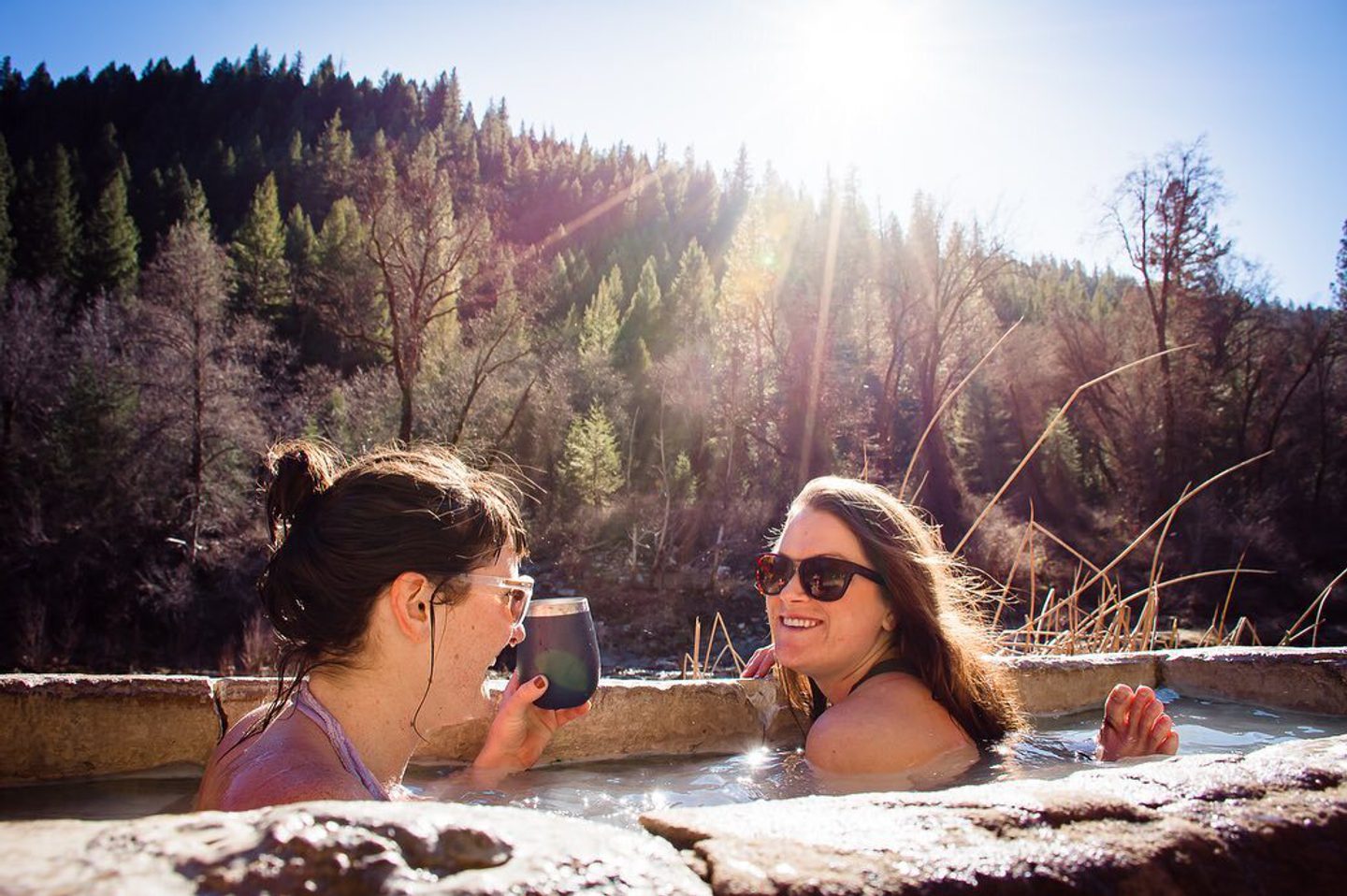
A short two mile drive from the Twain General Store takes you to the Feather River Hot Springs, a hidden thermal sanctuary. The rustic and rejuvenating retreat offers three tubs fed by a natural sulfur spring right next to the river.
Soaking is by reservation only, so be sure to plan ahead.
Get There: Google Maps | Apple Maps
Keddie Wye
The Keddie Wye is a renowned feat of railroad engineering and a favorite among railfans. It is the world’s only wye (a triangle of railroad track used for turning trains) with two legs on bridges that meet in a tunnel.
This unique junction is part of Plumas County’s 7 Wonders of the Railroad World and is a powerful sight to behold.
Get there: Google Maps | Apple Maps
Quincy
As the county seat and cultural hub of Plumas County, Quincy is the perfect place to explore restaurants, shops, and events, plus a lively and committed arts scene.
Get There: Google Maps | Apple Maps
Williams Loop
Witness a famous feat of railroad engineering at the Williams Loop. To gain elevation without a steep grade, the tracks loop back over themselves in a tight circle, a design that makes it feel like the train is wrapping around you.
This is another of the 7 Wonders of the Railroad World.
Get There: Google Maps
Plumas-Eureka State Park
Located high on the eastern slopes of the Sierra Nevada, the Plumas-Eureka State Park offers a unique glimpse into the Gold Rush era.
The Mining History Museum and the remains of the Mohawk Stamp Mill give visitors a tangible sense of the past. The park also features over ten miles of trails for hiking and fishing.
Get There: Google Maps | Apple Maps
Clio Trestle
At 172 feet high and 1,005 feet long, the Clio Trestle is the longest and tallest bridge along the Feather River Route.
This dramatic landmark is a favorite spot for trainspotters and is a key part of the 7 Wonders of the Railroad World exhibit.
Get There: Google Maps | Apple Maps
Lakes Basin Recreation Area
The Lakes Basin Recreation Area is a crown jewel in the Plumas National Forest.
With over 20 glacially carved alpine lakes, impressive peaks, and more than 30 miles of world-class trails, this area gives you a sense of the “Lost Sierra” without the crowds.
Get There: Google Maps | Apple Maps
Western Pacific Railroad Museum
Located in Portola, the Western Pacific Railroad Museum is a hands-on museum where visitors can actually board and explore historic locomotives and train cars.
It’s one of the largest and most historic collections of diesel locomotives in the United States, making it a must-visit for train enthusiasts of all ages.
Get There: Google Maps | Apple Maps
Sierra Valley Preserve & Nature Center
A true paradise for birders and nature enthusiasts, the Sierra Valley Preserve & Nature Center is located at the headwaters of the Middle Fork of the Feather River.
It is home to the largest freshwater wetland in the Sierra Nevada and provides year-round public access for hiking, birding, kayaking, and nature photography.
Get There: Google Maps | Apple Maps
From the unique communities and urban amenities of Butte County to the wide-open spaces and rugged adventures in Plumas County, the Feather River Scenic Byway offers a journey like no other. This route showcases a special combination of outdoor recreation and engineering history that makes this region so unique.
Whether you’re seeking a serene escape or an ambitious new discovery, this scenic byway is your invitation to explore the best of Northern California.
