
Butte County has an abundance of wheelchair-accessible places to visit, giving inclusive access to its fertile rolling hills and valleys between the Mendocino National Forest, Lake Tahoe, and Lassen National Park. Wheelchair users will find that Butte County is a perfect choice for anyone looking for an accessible weekend destination.
Gridley’s Wheelchair Accessibility
Gray Lodge Wildlife Area
The Gray Lodge Wildlife Area in Gridley is a large, secluded haven, supporting a thriving wetlands ecosystem. It’s a favorite birdwatching destination and stunning near the beginning and end of the day. The area opens at sunrise and closes at sunset daily.
Accessibility features: Beginning from Parking Lot #14, a three-mile self-guided driving tour on a compacted gravel road allows visitors to explore the ponds and fields without leaving the vehicle.
A barrier-free fishing and observation pier stretches over a seasonal pond adjacent to Parking Lot #14. Sections have been lowered to expand visibility.
From the pier, follow a paved path to the beginning of the Wetlands Discovery Trail, which has little to no elevation change as it borders the pond sporadically lined with trees. For less than half a mile, this trail is smoothly paved. Grab the map at the trailhead to learn more about the numbered points of interest along the way and to see the designated accessible route.
A few benches with space for wheelchairs are on a paved section next to the trail at site #3. The pavement ends a little past #9, where there is an ADA elevated platform with a bench and two spotting scopes overlooking the pond.
Visitors with power assistance or adaptations may want to complete the 0.85-mile Wetlands Discovery Trail loop by continuing the hike on the natural terrain portion made of packed dirt and crushed rock to see sites #8, #10, #11, and #12. Otherwise, hikers are advised to return on the same route to the parking lot.


Paradise’s Wheelchair Accessibility
Perhaps the grandest view in Butte County is the Butte Creek Watershed Overlook in Paradise. The panoramic landscape of the canyon and its surroundings is particularly picturesque around sunrise and sunset, but beautiful regardless of the time of day.
While in Paradise, indulge your sweet tooth at Joy Lyn’s Candies, known as the county’s best chocolate; accessible parking is next to a ramp leading to the one-story shop. And if you’re looking to enjoy smooth sips, scenic views, and guided tours, try the inclusive, barrier-free setting of Burnt Barn Distilling Co.
At Bille Park, you’ll find accessible picnic areas, shaded seating, and scenic overlooks with views of Butte Creek Canyon. Wheelchair-accessible restrooms and parking are available.
The Yellowstone Kelly Heritage Trail begins at Paradise Community Park, where the Paradise Depot Museum is located, and follows the Skyway. The lower section near the park is more inclusive, offering paved pathways and parking, while the upper portion has a mix of pavement and compact dirt trails. The nearest accessible restrooms are at Paradise Community Park.
Oroville’s Wheelchair Accessibility
Mother Orange Tree
Since 1850, this region has been rooted in California’s agriculture, growing olive oil, rice, nuts, and fruits, which makes it a perfect place to slow down and unwind. By 1863, 75 acres of local orange trees were thriving, spawned from one Mother Orange Tree, still alive in Oroville and managed by California State Parks.
Accessibility features: A short, paved path leads from one of the two accessible parking spots to a picnic table overlooking the gated tree, with two all-gender restrooms located along the way.
Oroville Greenline Tour
The Oroville Greenline Tour, a 15-mile self-driving route to many scenic spots, is particularly alluring in the spring and fall. As you explore as many of the 14 stops as you’d like, you should stop in the country-chic Downtown Oroville for shopping and dining, which spans several flat blocks.
Feather River Hatchery
The Feather River Fish Hatchery was established when Oroville Dam was constructed to assist the migration and spawning of local salmon and trout, now integral to the river’s healthy ecosystem. With viewing windows and a great view of the river, it’s a wonderful spot for kids and families.
Accessibility features: Two separate parking areas provide access to Hatchery facilities: one east and one west of Table Mountain Boulevard.
From the eastern accessible parking spaces (closer to the bridge), a paved pathway with handrails winds down to the overlook for the Feather River’s fish barrier dam; a slightly sloped, short adjacent path veers to the fish ladder viewing window.
The parking lot on the west side of Table Mountain Boulevard consists of the spawning room and hatchery fish-rearing ponds, along with accessible parking and restrooms.


Oroville Dam
The Oroville Dam, a part of the Lake Oroville State Recreation Area, is a popular landmark on this tour route.
Accessibility features: A paved road parallels a path over the dam for a mile without shade and in the force of the wind; designated accessible spots are in the parking lot.
Lake Oroville Visitors Center
Just a few minutes further up the road on the hillside is the Lake Oroville Visitor Center. Managed by California Department of Water Resources, the visitor center details the the creation of the Oroville Dam as well as the region’s agricultural history (including a planting of one of the earliest Mother Orange Tree cultivations), the impact of the gold mining industry, and a brief history of the ancient Maidu people. The Maidu story is a captivating one, from their cultural and spiritual history to the petroglyphs and grinding rocks they left behind.
Accessibility features: From the designated accessible parking spots, a paved path takes visitors past these attractions to a shaded courtyard with modified restrooms and drinking fountains; one table in the picnic area is modified with an extended end to be more inclusive.
Push-button, automatic doors open into the museum with a few exhibit rooms and a large movie theater equipped with wheelchair seating.
The 360-degree viewing tower is only accessible via a flight of stairs, but a joystick-operated telescope inside the museum enables anyone to control a view from the surroundings.
Oroville’s Table Mountain Bridge
The historic Table Mountain Bridge, also referred to by locals as simply the Green Bridge, crosses the Feather River near the hatchery, and is an iconic landmark in Oroville. Originally opened to vehicles, it is now pedestrian-only.
Accessibility features: Currently, the south entrance of the hatchery (near The Boss Burger) has been made more accessible, consisting of a flatter and smoother entrance onto the bridge.
The north entrance, with parking at the hatchery, requires traveling up and down a steep hill and over cracked pavement.
Those wanting to access the south entrance can park at the Veterans Memorial Park, just on the other side of The Boss Burger, where there are two accessible parking spaces.


Feather River Bike Trail
The 3.2‑mile, dog-friendly Feather River Bike Trail offers an accessible route to see a variety of scenic spots along the Feather River. Starting from the Green Bridge and traveling all the way to Riverbend Park, you can make stops at Centennial Plaza, the historic Oroville Chinese Temple, and Bedrock Park. The historic Feather River Nature Center and Native Plant Park across the river from the hatchery is also worth adding to your visit.
Accessibility features: The Feather River Bike Trail is largely flat and completely paved.
At Riverbend Park, you’ll find a covered picnic table area on a paved platform and restrooms.
Bidwell Bar Suspension Bridge
At Lake Oroville, the Historic Bidwell Bar Suspension Bridge — California’s oldest suspension bridge, built in 1855 — is today open to pedestrians only to access the Wyk Island Loop and is adjacent to the bridge is the historic Bidwell Bar Tollhouse.
Accessibility features: The Historic Bidwell Bar Suspension Bridge features a smooth, paved walkway suitable for wheelchair users, while the Bidwell Bar Tollhouse is accessible via a short, mostly level path from the parking area.
Wyk Island Loop
Also located within the Lake Oroville State Recreation Area and right across the aforementioned bridge, the Wyk Island Loop is a peaceful, nature-filled trail. The loop sits on a small island accessible by a short approach near the lake’s south shore.
Accessibility features: The compacted dirt path is relatively flat and manageable for many wheelchair users, especially in dry conditions. One ADA parking spot is near the trailhead at the east end of the parking lot and another six are in front of the bathroom near the boat launch ramp. Outside of peak travel times, the rest of the parking lot stays relatively open.
Rattlesnake Hill Trail
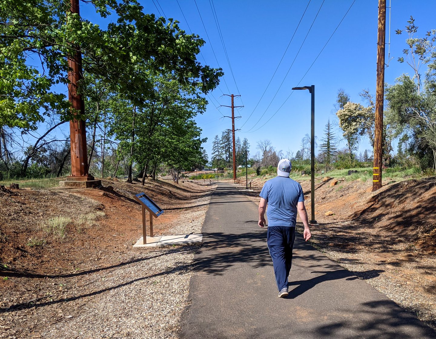
For another peaceful path with expansive views just west of Oroville, the Rattlesnake Hill Trail offers a scenic, accessible stroll above the North Thermalito Forebay. Coiling around the hillside, this 1.2‑mile loop connects to the Brad Freeman Trail, making it a popular stop for walkers, cyclists, and wheelchair users alike. A bench at the hilltop offers sweeping views of Table Mountain, Oroville, and the shimmering Forebay waters.
Open year-round; a parking fee is required, or you can use a California State Parks annual vehicle pass for entry.
Accessibility features: The Rattlesnake Hill Trail is completely paved.
How far away is Butte County, California?
If Chico is your base camp, then Butte County is 90 minutes from Sacramento, three hours from San Francisco, less than three hours from Reno, and 3.5 hours from Ashland, Oregon.
Chico’s Wheelchair Accessibility
Chico Seed Orchard
An important part of the agricultural paradise of Butte County is the Chico Seed Orchard, managed by the Mendocino National Forest.
Known locally as “the Tree Farm,” the land is crucial for reforestation, including wildfire recovery, watershed restoration, as well as riparian habitat for threatened and endangered species.
A one-mile trail winds through the orchard, passing a bamboo tree forest, a gently flowing creek, and several picturesque bridges that enhance the natural surroundings.
Accessibility features: The trail surface is firm, mostly level, and entirely paved around the loop, with educational signs along the way and some well-maintained gravel side paths.
One van-friendly, accessible parking spot is at the park’s main gate next to the pedestrian gate. The turning radius may be too narrow for some power wheelchairs to maneuver past.
The main gate is open during the week, allowing visitors to drive to the other trailhead near the nature center with two designated accessible parking spots, one of which is van-friendly. Though ADA parking is limited, spots are usually available throughout the year, except during the height of the fall foliage viewing season when visitation is at its peak.


Lower Bidwell Park
Lower Bidwell Park is centrally located in Chico with miles of multi-use paved trails that travel along and over an endless babbling creek among towering Sycamore, Oak, and Walnut Trees.
Accessibility features: The shaded trail is primarily flat and marked with distance loop signs.
Accessible parking and barrier-free picnic tables are sporadic.
The best accessible restrooms are located at the One Mile Recreation Area, the Cedar Grove Picnic Area, and the Chico Creek Nature Center.
Downtown Chico
Besides being a college town, Chico is an inclusive and welcoming place that features a robust collection of local leisure attractions. A favorite is the Saturday Chico Certified Farmers Market, even for those only browsing. Come to get a coffee and get lifted up by the community’s colors and culture.
Or support small businesses by shopping, dining, and drinking in Downtown Chico at stores with homegrown goods, like Made in Chico. Colorful murals occasionally cover building walls, making strolling downtown perfect for a leisurely afternoon.
Accessibility features: The parking lot in front of Madison Bear Garden at W. 2nd St. and Salem St. as well as the “Farmers Market Parking lot” at E. 2nd St. and Wall St. are the best places for designated accessible spots.
Additional ADA parking is available in the Chico Parking Garage at W. 3rd and Salem St. Accessible parking spaces and public transportation are available at no charge.
Find more information about getting to and around Downtown Chico here.


Chico State Museums
Located in the greater downtown area, the Gateway Science Museum and the Valene L. Smith Museum of Anthropology are two must-visit Chico State museums.
Both museums have interactive exhibits and information about scientific discoveries. Located less than half a mile away from Chico State, the Gateway Science Museum focuses on kid-friendly science and California’s ecosystems, while the Valene L. Smith Museum of Anthropology, located right on campus, showcases regularly rotating student-created displays as well as the history of Indigenous people with artifacts.
Accessibility features: Both are accessible with wide pathways, automatic doors, restrooms, and designated accessible parking nearby.
The Gateway Science Museum is less than a half mile away from Chico State and easily accessible via paved and flat sidewalks for an easy 10-minute trip. It also houses an outdoor barrier-free route through native plant displays.
Chico Air Museum
While there are a number of intriguing museums in the greater downtown area, traveling to the city’s outskirts for the Chico Air Museum is worth considering. Admission is free (donations recommended) to explore a large collection of historical aviation displays.
Accessibility features: Navigating around the many planes, accessories, and documents on the museum’s smoothly paved floor inside is easy, but the rocky surface surrounding the planes outside may be challenging for manual wheelchairs.
Close to the entrance are two designated accessible parking spots, and two large unisex restrooms are available inside.
Update May 2025: Currently, the museum is in the site-planning phase for a new enclosed expansion in the outside area, which will be ADA accessible.
Butte County is charming, corner to corner. It’s a place where you can taste the California sunshine and explore the region’s historic roots. Unwind and savor modern, inclusive country culture.
Roll on to or through Butte County, because from valleys to hillsides, there’s always plenty for wheelchair users to enjoy.
